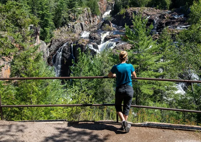
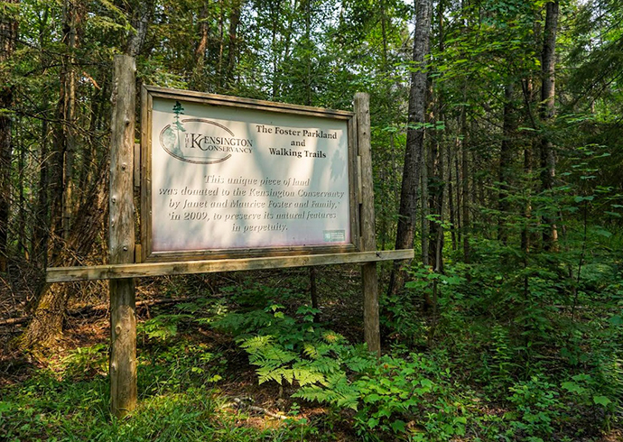
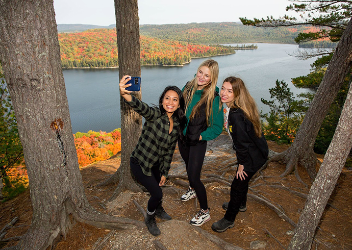
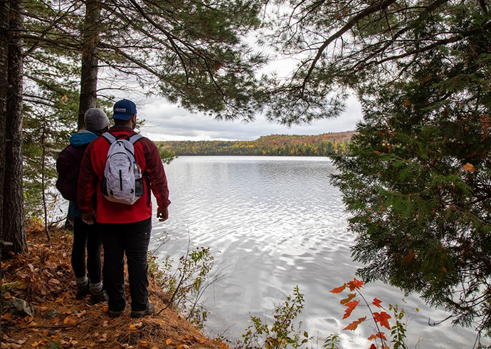
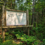
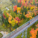
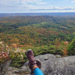
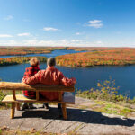
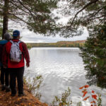
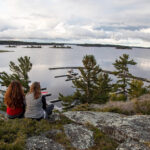
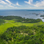
With an area of 28,000 square miles, the Algoma area offers many hiking challenges for novice and experienced backpackers. Experience a serene walk on a nature trail, or rough it alone in some of the most magnificent untouched areas of Northern Ontario. Algoma has hundreds of hiking possibilities.
The following are some of Algoma’s most popular places to hike:
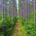
The Voyageur Trail – 600 km (400 mi)
These trails pass through some of the most spectacular and rugged areas of Ontario. Upon completion, this hiking trail will span the central part of Northern Ontario from Manitoulin Island to Sault Ste. Marie, along Lake Superior to Thunder Bay. The longest continuous stretch is approximately 300 km (200 mi) from Sault Ste. Marie to Elliot Lake. The Voyageur Trail map is available for purchase online at www.voyageurtrail.ca
The Chapleau Crown Game Preserve
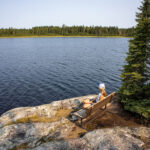
As the largest crown game preserve in the world, this 2 million acre preserve offers endless backpacking opportunities. Backpackers will experience awesome scenery and photography opportunities of wild animals in their natural surroundings. For a map and self-guided tour of the Chapleau Crown Game Preserve visit www.chapleau.ca
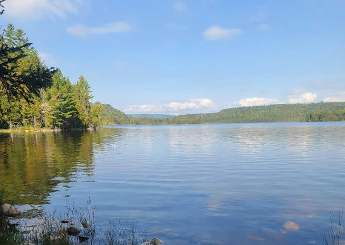
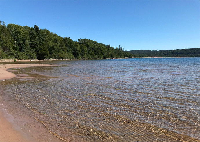
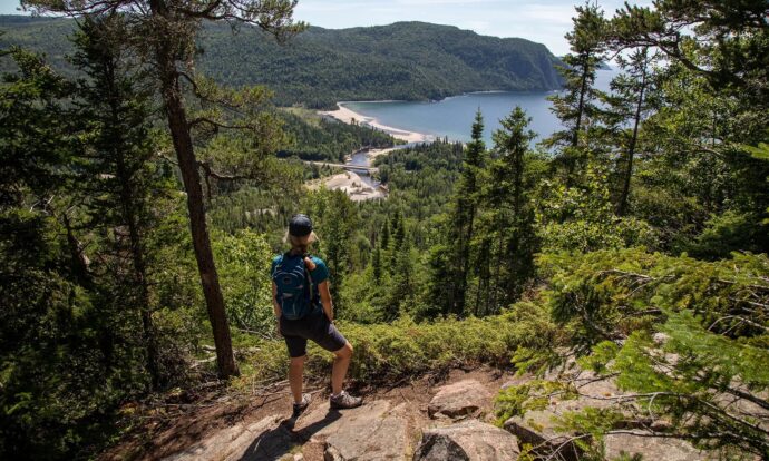
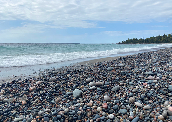
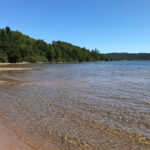
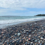
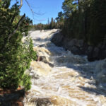
The Coastal Trail – 63 km (5 to 7 days)
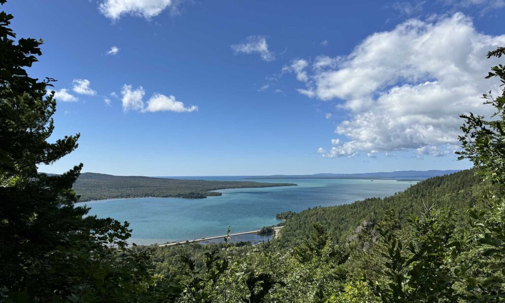
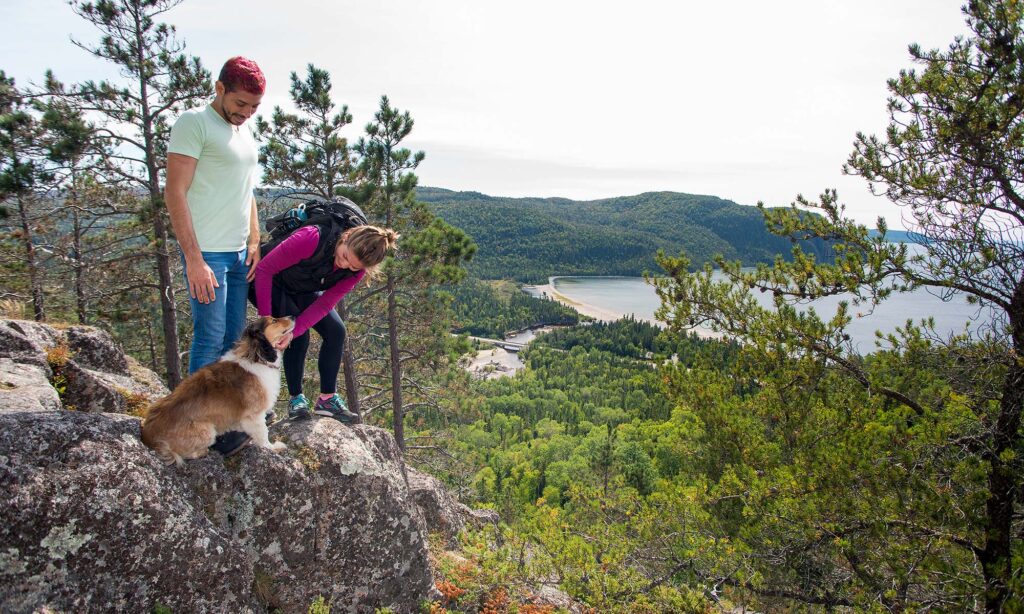
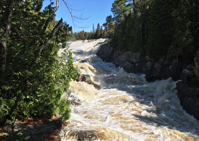
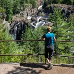
The best trail in Algoma, this strenuous hiking adventure traces the Lake Superior coastline along scenic cliffs and cobblestone beaches and through bush. Keep your eyes peeled for bald eagles, especially along the Sand and Agawa rivers. Several access points give you a choice of spending one or several days on the trail.
From backcountry hiking and camping under the stars, day trips and nights in comfortable cabins, it’s easy to plan a hiking trip to Algoma.